Ngaio
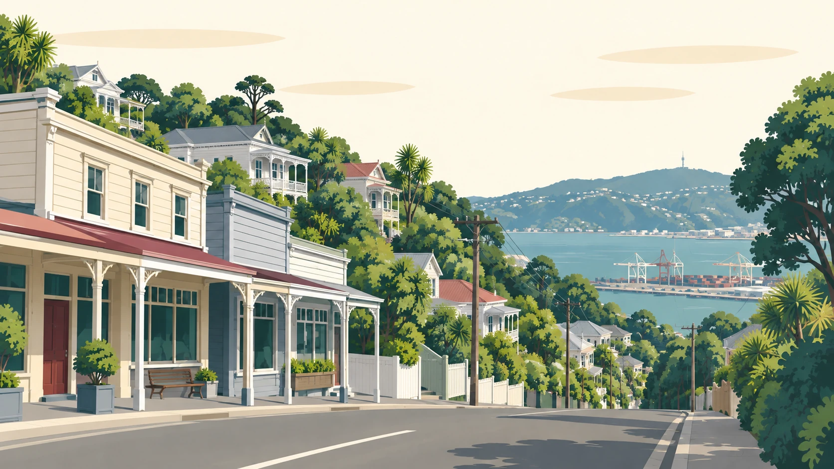
Ngaio is the railway suburb on the slopes of Mount Kaukau about 3.5 km north of Wellington's centre, with the Johnsonville Line running through it, the Town Hall on Ottawa Road and Trelissick Park in the gorge below.


Why people love it here
Ngaio grew up along the railway. The line from Wellington opened in 1886 and the station, then called Crofton, opened the year before it, so the suburb has had a train into town for 140 years. Ngaio and Awarua Street stations are both on the Johnsonville Line, and the trains run down through the gorge to the city.
The railway also built the houses. Between 1927 and 1929, and again from 1938 to 1940, the Railways Department put up its standard three-bedroom timber cottages on Tarikaka Street and the streets around it. Sixty-four of them still stand among the 71 houses of the WCC heritage area, one of the few groups of its kind left largely intact.
Ottawa Road is the village. The Town Hall, opened in 1925 in brick and timber, is at the Collingwood Street end, with the Cummings Park Library beside it. Along the road are the Villa Cafe, Dough Bakery, the pharmacy and Tandoori Nights, and Cummings Park with the playground is just off it.
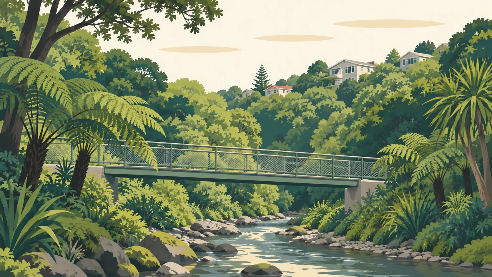
Chew Cottage at 19 Ottawa Road was built in 1865 from local tōtara, rimu and kauri and is on the national heritage list. Below the suburb, Trelissick Park fills the Ngaio Gorge, with the Kaiwharawhara Stream, seven footbridges and the 1870s powder magazines, and Huntleigh Park's forest is on the hill towards Crofton Downs.
Tell me your street and I will send you the latest Ngaio sales report: what has sold near you, and for how much.
No visit, no pitch. The evidence first.
What is your Ngaio home worth now? I will send you an estimate based on what has sold near you. No obligation.
Usually within one business day.
Ngaio, counted
Stats NZ figures for the statistical area Ngaio, Place summaries. Population is the estimated resident population; the rest are the 2023 Census. Licensed CC BY 4.0.
The best of Ngaio
Every pick checked against its own listing on 21 September 2026.
What you can buy here
The railway cottage
The single-storey timber cottages of the Tarikaka Street settlement, 1927 to 1929 and 1938 to 1940, three bedrooms, a parlour and four roof-and-porch variants.
The 1920s and 30s bungalow
The bungalows on the streets around the village and the stations, from the years the suburb filled in.
The 1960s weatherboard house
The post-war houses on the hill streets, with the state houses of 1940 on Cockayne Road among the older ones.
Built by the railway
The Tarikaka Street settlement
The cottages the Railways Department built for its workers, pre-cut at Frankton and railed to Wellington, still standing together as a heritage area.
The Johnsonville Line
Ngaio and Awarua Street stations, and the train down through the gorge to Wellington Station.
What people ask about Ngaio
Where is Ngaio?
Ngaio is on the slopes of Mount Kaukau about 3.5 km north of Wellington's city centre, between Khandallah, Crofton Downs and Wadestown, with the Ngaio Gorge as the road down to the city.
How far is Ngaio from Wellington's city centre?
About 3.5 km, with the Johnsonville Line from Ngaio and Awarua Street stations to Wellington Station, and the road down through the Ngaio Gorge.
What is Ngaio known for?
The Tarikaka Street railway cottages, the 1925 Town Hall on Ottawa Road, Chew Cottage from 1865, and Trelissick Park in the gorge below.
What kind of homes are in Ngaio?
The railway cottages of the Tarikaka Street settlement, bungalows from the 1920s and 30s, the 1940 state houses on Cockayne Road, 1960s weatherboard houses on the hill streets and a few colonial buildings from the 1860s.
What schools are in Ngaio?
Ngaio School on Abbott Street is the state primary for Years 1 to 6, and Onslow College names Ngaio in its home zone.
How many properties has Jason Lange sold in Ngaio?
7 properties, from my own sale records, counting every title once. Every one is on the results page with its address. See them→
7 properties I have sold in Ngaio
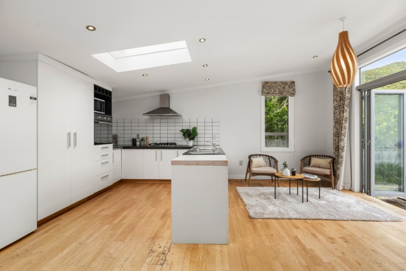
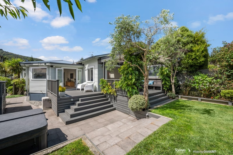
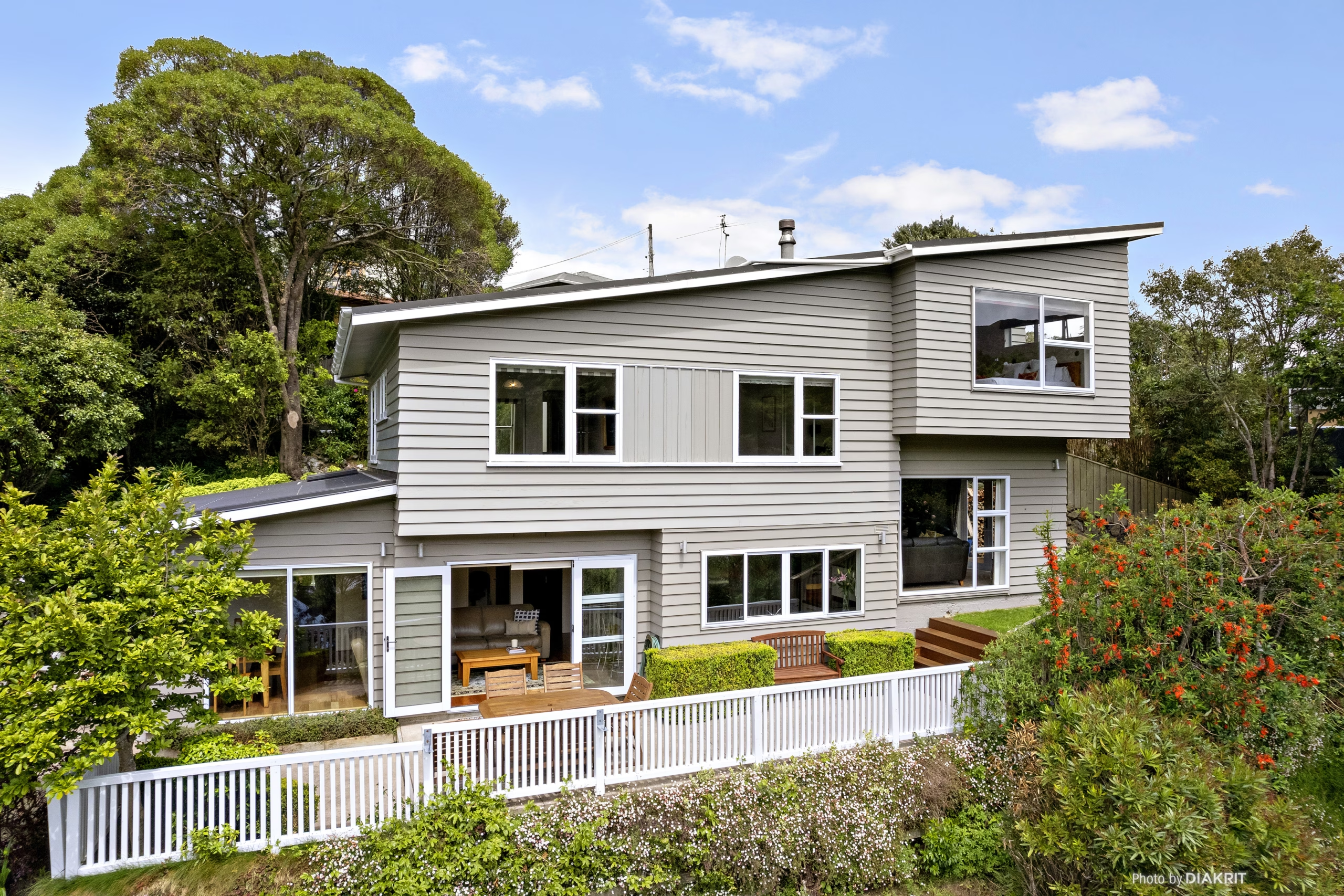
From my own sale records, read 17 September 2026. Sale prices are not published here.
Tell me your street and I will send you your Ngaio performance report, with specific sales and data.
“Excellent communication, very professional manner. Jason is polite and caring”