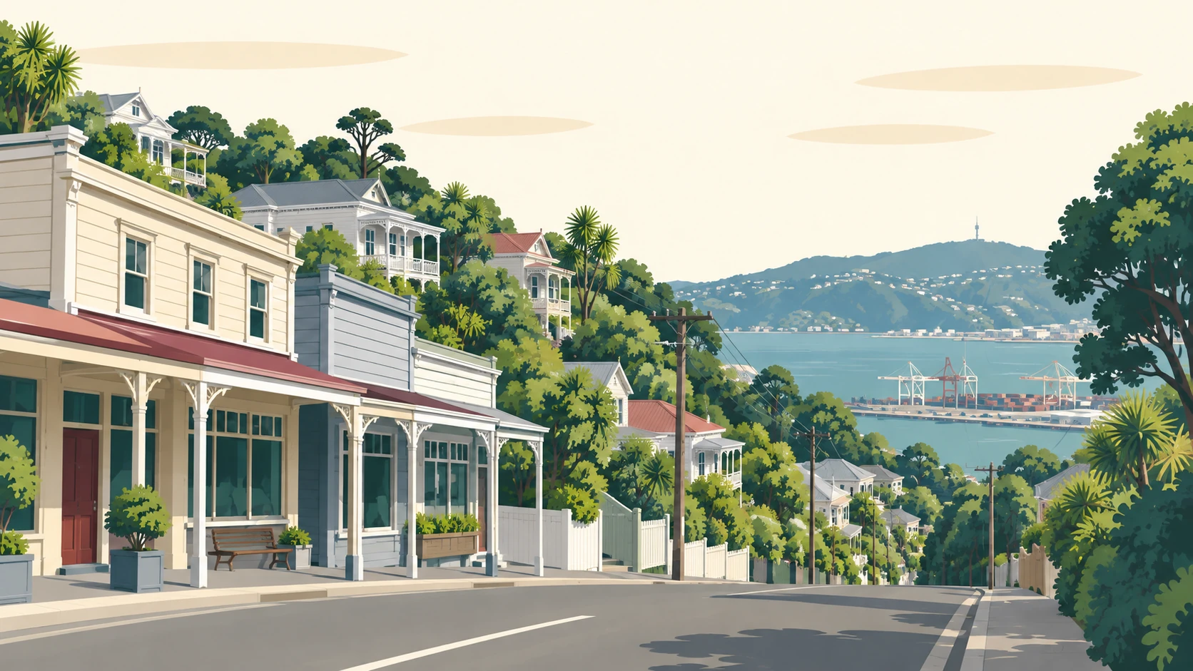
Crofton Downs
Crofton Downs is the suburb at the bottom of the Johnsonville Line, 157 hectares of hillside between Ngaio and Wilton, with Trelissick Park in the valley, Huntleigh Park above and the shops and the station together on Churchill Drive.


Why people love it here
Crofton Downs is unusual in Wellington in that the station, the supermarket, the pharmacy and the hardware store all sit within a few minutes of each other on Churchill Drive. The station opened in 1963 and the run into Wellington takes about nine minutes.
The streets above were laid out from the 1950s onward and the names give the period away: Winston Street, Downing Street, Chartwell Drive, Chequers Way and Admiralty Street are all borrowed from the life of Winston Churchill. Doris Gordon Crescent is named for the doctor who lived nearby.
The suburb takes its own name from Crofton House, built in 1857 by the Premier William Fox, which still stands on Kenya Street.
Trelissick Park runs along the valley below the station, following the Korimako and Kaiwharawhara streams down towards the harbour. Seven public footbridges cross the water, the Trelissick Park Group has planted more than 80,000 trees there since 1991, and the gunpowder magazines near the bottom of the track date from the 1870s.
Huntleigh Park sits on the Ngaio side with a children's playground and a dog exercise area off Silverstream Road. Above the suburb the Skyline Walkway runs the ridge past the Crow's Nest, and Ōtari-Wilton's Bush, the only public botanic garden in the country given over entirely to native plants, is over the hill towards Wilton.
Bowen Hospital has been on Churchill Drive since 1965, and Crofton Downs Primary, which opened in 1970 as Chartwell School, is a short walk from the station.
Tell me your street and I will send you the latest Crofton Downs sales report: what has sold near you, and for how much.
No visit, no pitch. The evidence first.
What is your Crofton Downs home worth now? I will send you an estimate based on what has sold near you. No obligation.
Usually within one business day.
Crofton Downs, counted
Stats NZ figures for the statistical area Crofton Downs, Place summaries. Population is the estimated resident population; the rest are the 2023 Census. Licensed CC BY 4.0.
The best of Crofton Downs
Every pick checked against its own listing on 21 September 2026.
What you can buy here
The 1960s and 1970s hillside house
The houses built when the western side of Ngaio became Crofton Downs, on the streets named after Churchill.
The bush-edge home
On Silverstream Road and the streets backing onto Huntleigh Park and the reserves.
The newer infill and townhouse
Later building on the flatter land near Churchill Drive and the station.
A station, a valley and a shop row
Trelissick Park
The Korimako and Kaiwharawhara streams, the footbridges and the 1870s magazines, starting right below the station.
Churchill Drive
The supermarket, the pharmacy, the cafes and the platform, all in the one place.
What people ask about Crofton Downs
Where is Crofton Downs?
Crofton Downs is a northern suburb of Wellington between Ngaio, Wilton and Wadestown, on the Johnsonville Line about 4 km from the city centre.
How far is Crofton Downs from Wellington's city centre?
The train from Crofton Downs station takes about nine minutes to Wellington Station, and the number 22 bus runs through on weekdays.
What is Crofton Downs known for?
Trelissick Park and its footbridges, the station and shops together on Churchill Drive, and the streets named after Winston Churchill.
What kind of homes are in Crofton Downs?
Houses built from the 1950s onward on the hillside streets, bush-edge homes near Huntleigh Park and the reserves, and newer building on the flatter land by the station.
What schools are in Crofton Downs?
Crofton Downs Primary School covers years 1 to 6, and Onslow College's home zone includes Crofton Downs.
Tell me your street and I will send you your Crofton Downs performance report, with specific sales and data.
“At a time when the Wellington market is challenging, Jason worked hard to get us a good price for our property. He kept us informed all the way and always did what he said he would do. We appreciated his personal, trustworthy and professional attitude. Would definitely recommend him.”