Mākara
Mākara is the farming valley over the hill from Karori on Wellington's western edge, a settlers' church and a hall on Makara Road, the city's main cemetery, and the West Wind turbines on the ridges above.


Why people love it here
Mākara is a rural district, not a suburb. The road from Karori drops into the valley and runs along Mākara Stream to the coast, and the settlement is a school, a hall, a church and the houses and farms strung along it. The 2023 census counted 249 people across the whole 7,458 hectares.
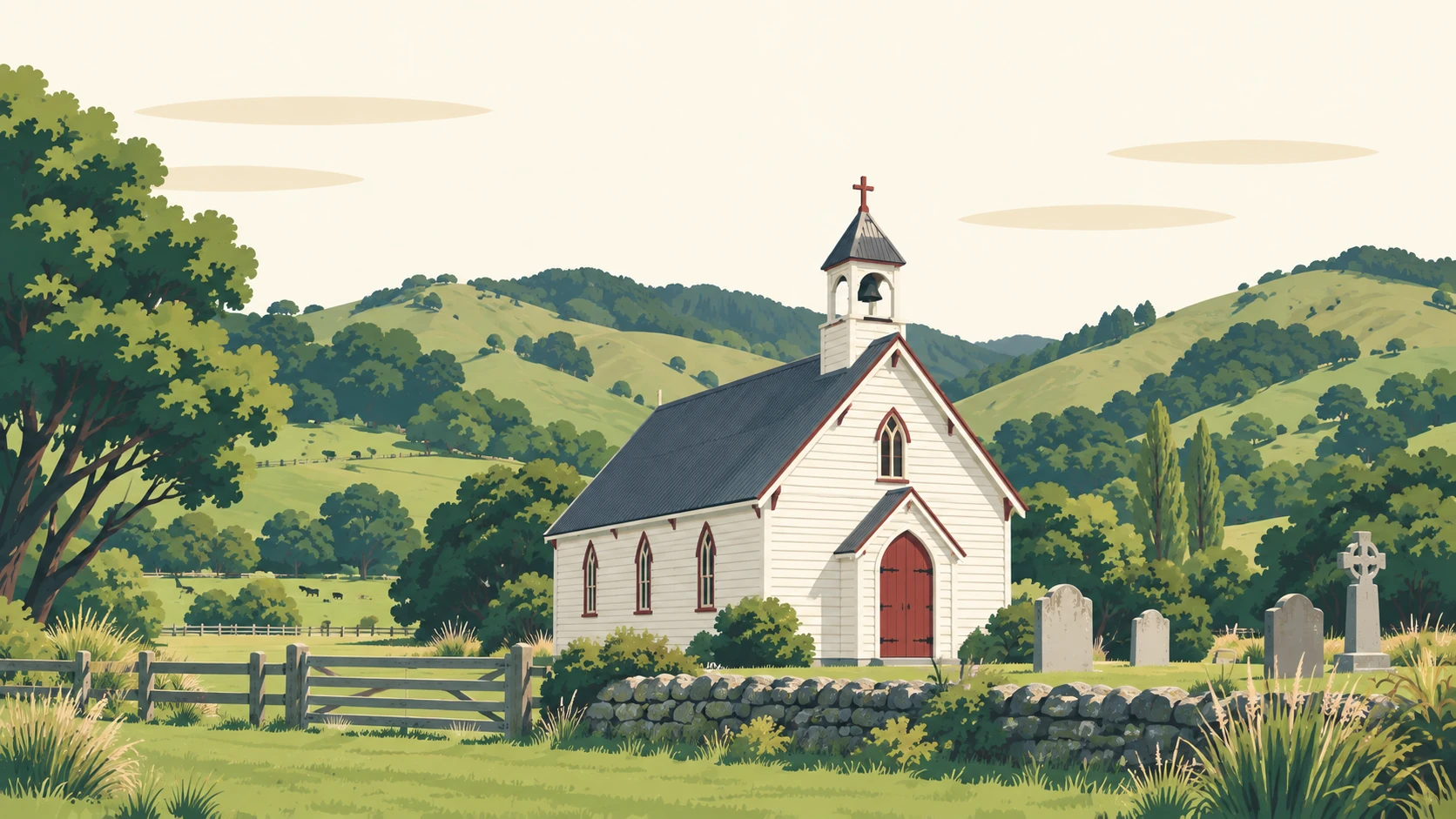
St Patrick's Church is the first thing you see coming in from Karori. Built in 1873 for the Catholic families of the valley and designed by Charles Tringham, it was deconsecrated in 1982, restored by the community from 1987 and is now owned by the district and hired out for weddings. Mākara Hall stands next door.
Mākara Model School teaches the valley's children from Year 1 to Year 8 at 399 Makara Road, sixty-odd of them at last count, and the building doubles as the community's emergency hub. Across the valley, Mākara Cemetery has been Wellington's main cemetery since its first burial in 1965 and was the first in the country to offer natural burials.
The West Wind farm's 62 turbines have stood on the coastal hills since 2009, and Meridian's recreation area below them, entered from Opau Road, has two tracks and a car park. Mākara Peak Mountain Bike Park is over the ridge, with one of its entrances off Makara Road.
Tell me your street and I will send you the latest Mākara sales report: what has sold near you, and for how much.
No visit, no pitch. The evidence first.
What is your Mākara home worth now? I will send you an estimate based on what has sold near you. No obligation.
Usually within one business day.
Mākara, counted
Stats NZ figures for the statistical area Mākara and Ōhāriu, Place summaries. Population is the estimated resident population; the rest are the 2023 Census. Licensed CC BY 4.0.
The best of Mākara
Every pick checked against its own listing on 21 September 2026.
What you can buy here
The farmhouse on the road
The homestead of a working farm, sheep and cattle country since the 1850s, with the sheds behind it.
The lifestyle block
A house on a few hectares off Makara Road or up Takarau Gorge, with room for horses and a stream at the bottom.
The house in the settlement
Near the school, the hall and the church, on the flat along the stream.
A farming valley twenty minutes from Karori
St Patrick's Church
The 1873 settlers' church behind its picket fence at 376 Makara Road, restored by the valley and hired out for weddings.
The road to the coast
Makara Road follows the stream from the settlement to the pebble beach and the walkway at its end.
What people ask about Mākara
Where is Mākara?
Mākara is the rural valley west of Karori on Wellington's western edge, reached by Makara Road from the end of Karori Road, or from Ōhāriu Valley through Takarau Gorge.
How far is Mākara from Wellington's city centre?
About twenty minutes' drive through Karori, and there is no scheduled bus into the valley.
What is Mākara known for?
St Patrick's Church and Mākara Hall, the West Wind turbines on the coastal hills, Mākara Cemetery and the walkway from the beach.
What kind of homes are in Mākara?
Farmhouses on working farms, houses on lifestyle blocks along Makara Road and Takarau Gorge Road, and the houses of the small settlement near the school.
What schools are in Mākara?
Mākara Model School, Years 1 to 8 at 399 Makara Road, whose home zone takes in Makara Road and the beach, and Onslow College names Makara Road in its zone.
Tell me your street and I will send you your Mākara performance report, with specific sales and data.
“Jason Lange was excellent to work with during our purchase of 119 Buckley Rd. His guidance and market advice were outstanding, and he helped us present the strongest possible offer. We've dealt with Jason previously and his professionalism and results continue to impress. Strongly recommended.”